Our Services
01
UAV Aerial Survey & Photogrammetry
———
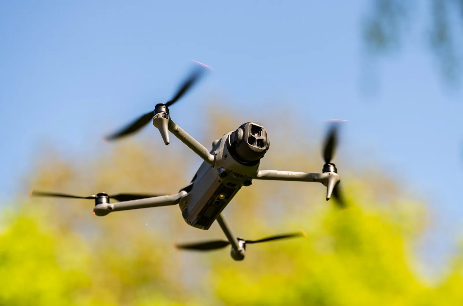
Binding Marine uses DJI drones to carry out aerial surveys, capturing high-resolution images for photogrammetric processing. This allows us to produce accurate 3D models and terrain maps.
Our UAV surveys are suited for environmental monitoring, coastal mapping, and shipwreck inspection. Data is processed in-house to ensure quality and consistency, providing practical spatial information to support project planning and analysis.
02
ROV Inspections (Pipelines, Structures)
———
Binding Marine provides ROV inspections for underwater pipelines, marine structures, and subsea installations. Our operators use ROVs equipped with high-definition cameras and sensors to carry out visual and dimensional assessments in a variety of underwater environments.
These inspections help identify structural condition, corrosion, marine growth, and any damage, supporting maintenance planning and regulatory requirements. Whether for pipelines, platforms, or subsea cables, our ROV services deliver accurate data to assist in managing underwater assets.

